Hotel · near Spiaggia della Playa
Hotel Ristorante El Sombrero
Affiliate link: Booking links on this site are partner links. Once our partnership is active we earn a commission if you book, at no extra cost to you. It does not change what we recommend.
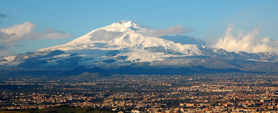
- 13minwalk to the beach
- 8mclimb from the beach
- 39minwalk to a bus stop
- 0bars within 150 m
- Mostly level walk
- Quiet evenings
At a glance
The nearest beach (Spiaggia della Playa) is about 13 minutes on foot on a mostly level walk.
You have a bus stop about 39 minutes away and a supermarket about 18 minutes away.
There are few bars nearby, so evenings should be quiet.
Good for
- Level walk back from the beach: climb about 8 m
- Quiet evenings: 0 bars or clubs within 300 m
Each line rests on a number computed for this place.
How it compares
Compared with the 108 places we mapped in Sicily. A longer bar means fewer places are as close.
- Walk to the beach 13 min Closer than 43% of places
- Walk to a bus stop 39 min Closer than 8% of places
- Walk to a supermarket 18 min Closer than 23% of places
- Climb back from the beach about 8 m Less climbing than 75% of places
Contact and maps
How far is everything
- Nearest beachSpiaggia della Playa 13 min
- Bus stop 39 min
- SupermarketEurospin 18 min
- PharmacyFarmacia Fondachello Playa 28 min
- Cash machine 59 min
Sights and days out
- Valley of the Temples, Agrigento By car: 52 min
- Villa Romana del Casale By car: 87 min
- Cefalù By car: 155 min
- Monreale Cathedral By car: 239 min
Getting here
Hills and evening noise
- Height above sea level
- about 8 m
- Climb from the nearest beach
- about 8 m
- Average slope of that walk
- about 0.8%
- Bars and clubs within 150 m
- 0
- Bars and clubs within 300 m
- 0
How we worked this out
These figures are computed, not measured on foot. Walking times use the mapped streets and paths at about 4.8 km/h, with steps counted slower. Driving times use typical road speeds plus time for junctions and parking, so allow extra at busy times. The slope compares the height of the hotel with the nearest beach. "Steep" means an average of 8% or more. Noise counts mapped bars, pubs and nightclubs in a straight line.
Computed 30 Oct 2026. Map data (c) OpenStreetMap contributors, ODbL. Elevation: AWS Terrain Tiles (NASA SRTM 30 m and national datasets such as USGS 3DEP).
Not yet spot-checked by our editors.